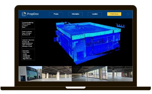
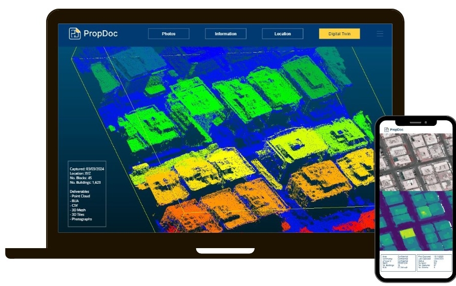
We capture using a range of
LiDAR scanners and deliver
point cloud data in a variety of
formats & densities. Our team
of Digital Surveyors can
capture point cloud data from
the ground and air.
PropDoc offers a turnkey
solution to convert heavy
point cloud data into simple
2D & 3D assets. Alternatively,
if you prefer to handle the
data we can
capture-as-a-service on your
behalf.
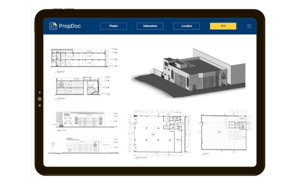
We offer BIM modeling
services. Provide us the
datasets and the scope of
work and we handle the
process. Save time and
resources, as we model to the
required LOD.
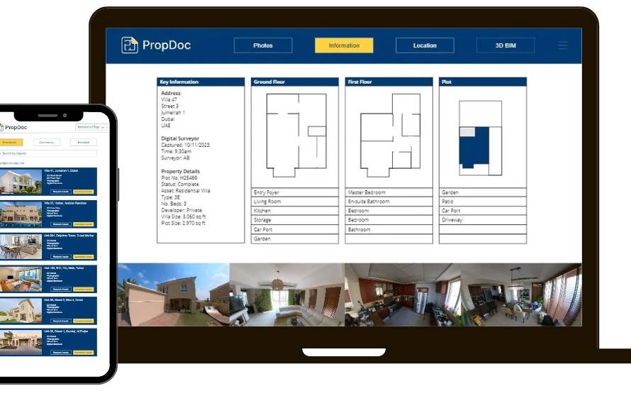
Keeping a digital log of your
assets is now critical to teams
working in multiple locations.
This allows you to upload
documents and remotely
access them on the go, with
the ability to share to key
personnel. Contact us to find
out more.
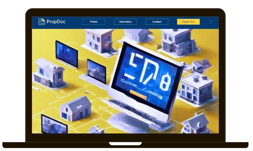
Smart buildings are generating
big savings and increasing
asset values. Take our 3D
models and integrate them
with digital twin capabilities.
BIM is only the beginning for
digital twins. Adopting sensors
and using software, you can
track and remotely control
your assets’ digital twin.
Contact us to find out more.
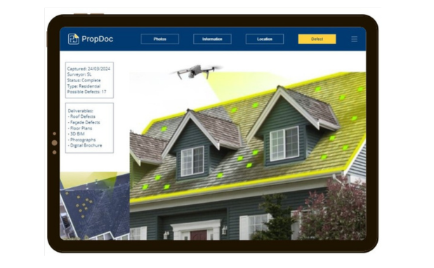
DroneDoc scans the asset,
and the software flags
possible defects and creates a
bespoke report.
Identify defects both
externally and internally. We
use advanced technology to
build solutions for the
property sector.
Do you need to know the
built-up area of an entire city?
Or a sub-community or just a
specific building?
DroneDoc’s innovative solution
using computer vision and
machine learning.
Using drone or satellite
footage, our solution
automatically segments each
building and calculates the
built-up area of each building.